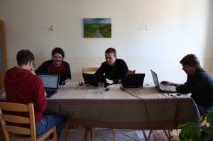
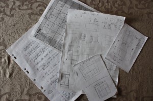
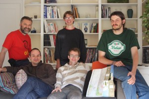
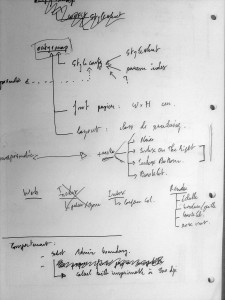
The hackfest is now finished! The last changes were committed by Thomas at 9:00 on ocitysmap module and at 9:30 on maposmatic module this April 1st.
Overall we have committed 127 changes on the ocitysmap module (17848 lines added, 3713 lines removed) and 40 changes on maposmatic module (3532 lines added, 1544 lines removed) over the 7 days of the hackfest. Some of those changes were made at 2:36 in the morning.
Now, given a city name, we are able to automatically produce booklet maps, with a nice overview page, the map spread over several pages and an index referencing for each street or amenity the corresponding map page number and the square on this page. Each map page has pointers to map pages at the North, East, West and South of this map.
All those changes can be seen for France’s map on the development website (take care to empty your browser cache and reload the website from scratch).
Before putting them in production, we need to fix a few remaining issues (choice of scale on poster maps, a few typos here and there, take into account latest translations, …) and to wait for the end of the world OSM database import (started 7 days ago!).
And then you’ll can enjoy the new MapOSMatic! Have fun! ![]()
