In September 2009, we launched MapOSMatic, a free web service that allows to render city maps on-demand based on OpenStreetMap data. Those city maps, divided into squares, are
associated with a street index, making the process of locating a street on the map easier.
We are proud to announce today the launch of a new version of MapOSMatic, which is the result of significant development efforts. Amongst the new features:
- The rendering of poster maps is now done on large standard paper formats (A3, A2, A1, etc.), automatically chosen depending on the geographical size of the city, instead of arbitrarily-sized papers that were hard to print. The end result is close to commercial folded maps;
- The ability to render multi-page maps, where the map and street index are split into several pages, for easier printing on regular paper formats (A5, A4, US Letter). Those multi-page maps are similar to commercial city booklets;
- The availability of several rendering styles. For now, we provide the standard OpenStreetMap.org style, several styles provided by MapQuest, and a custom style more suitable for printing. In the future, we expect to extend those styles, or even to let users provide their own styles. Do not hesitate to contact us about custom styles;
- Improvements in the selection of cities: in the previous versions, we were limited to OpenStreetMap areas of a certain administrative level;
- And many, many other smaller features and improvements: quality of the renderings, better user interface to render maps, last OSM database update date printed on the map, etc.
MapOSMatic is completely free software, distributed under the terms of the Affero General Public License v3. The project is available through Git repositories, has a mailing-list and an IRC channel. For details, see our About page, our wiki and the Savannah project page.
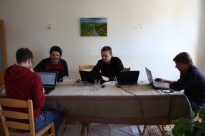
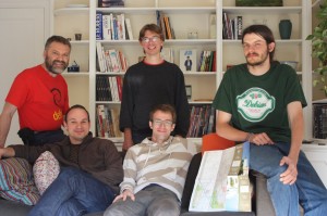
In addition to the launch of this new version, we are also starting a donation campaign. The project is completely developed and maintained by volunteers, but we need funding to cover hardware costs and transportations costs to organize the developer meetings during which MapOSMatic improvements are implemented (see this blog). If you appreciate MapOSMatic, do not hesitate to help us by donating with PayPal.


